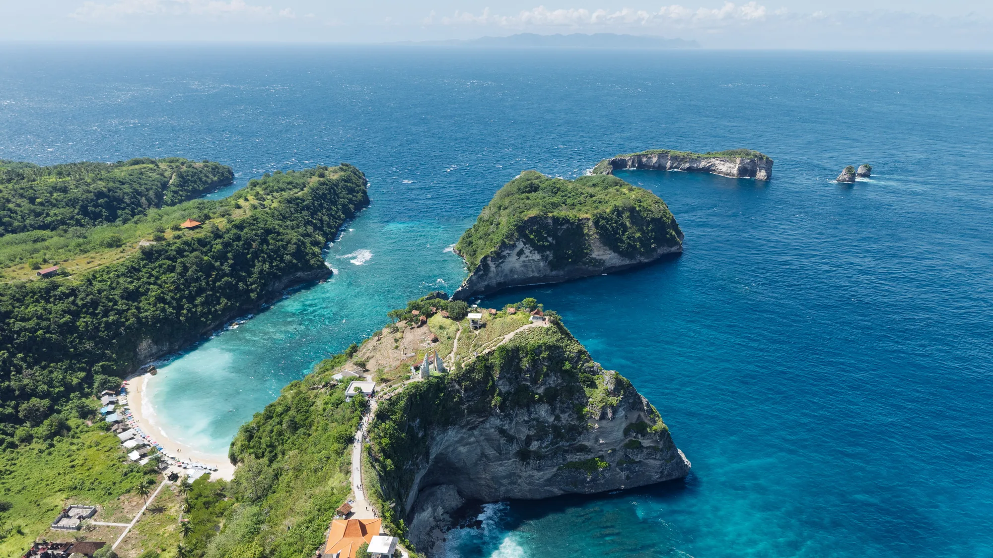
Place to see · Munduk
Jatiluwih: the great subak terraces below Mount Batukaru
Jatiluwih lines up rice terraces for kilometres on the slopes of Mount Batukaru, in the Tabanan area. The site is part of the subak cultural landscape on UNESCO’s World Heritage list. It is much larger and quieter than Tegallalang: you walk between the irrigation channels, facing the volcano.
- Updated on
- 3 min read
- By Kylian Dev
In short
Facts as of · sourced figures
You walk. Marked trails leave the road and drop between the terraces, along the irrigation channels, to small water temples and farmers’ shelters. Depending on the season, the plots are flooded, green or golden. Mount Batukaru towers over the landscape whenever the clouds let you see it.
Contents
Key points
- A very large terraced landscape, listed by UNESCO along with the subak irrigation system.
- Several marked trails of different lengths, to choose from.
- Come in the morning: soft light, a clear volcano, and fewer clouds than in the afternoon.
- The entrance fee is paid at the ticket booth on the access road, where the price is posted.
Subak is the cooperative system that shares water from springs and rivers between rice fields, through channels, water temples and a common calendar. In 2012, UNESCO added several subak landscapes to the World Heritage list; the Jatiluwih terraces are the best-known part.
Jatiluwih lies in the highlands of the centre-west: to sleep nearby, see Munduk; for other walks through rice fields, hiking in Bali.
What you do at Jatiluwih
You walk. Marked trails leave the road and drop between the terraces, along the irrigation channels, to small water temples and farmers’ shelters. Depending on the season, the plots are flooded, green or golden. Mount Batukaru towers over the landscape whenever the clouds let you see it.
- The marked trails: several loops, from a short stroll to a walk of a few hours.
- The subak channels: water passes from one terrace to the next through small ditches and sluices.
- The water temples: small shrines at the edge of the fields, to be respected without entering.
- The roadside warungs: drinks and simple meals, with a view over the terraces.
Getting there from Munduk or Ubud
From Munduk, you drive down the lake road towards Bedugul, then narrow country roads lead west to Jatiluwih: allow half a day including the visit. From Ubud, it is a full-day trip. You go with a driver, or by scooter if you know mountain roads well.
- From Munduk, follow the lakes to Bedugul, then the signs for Jatiluwih.
- Stop at the ticket booth on the access road and pay the posted entrance fee.
- Park along the main road, near the trailheads.
- Choose a loop to fit your time, and bring water.
In good weather, Jatiluwih can also fit into the drive between Ubud and Munduk: see Ubud to Munduk.
When to go
In the morning, low light skims the terraces and the volcano is often clear. In late morning, day trips from the south arrive. In the afternoon, clouds settle on the slopes, with frequent showers in the rainy season. How the fields look depends mostly on the subak calendar, not only on the season.
| Time slot | Crowd | Light | Note |
|---|---|---|---|
| Early morning | Light | Low, volcano visible | The best time to walk |
| Late morning to 2 pm | Moderate | Harsh | Little shade on the trails |
| After 2 pm | Variable | Low clouds | Frequent showers in the rainy season |
Green, golden or harvested depending on the month: see when to go to Bali.
What to pair it with
From Munduk, Jatiluwih fills half a day: you can round it off with Lake Tamblingan at dawn or the Munduk waterfall on the way back. Jatiluwih or Sekumpul, not both on the same day: the road between the two is long and winding.
- Lake Tamblingan: a forest lake, by dugout canoe with a village guide.
- Munduk waterfall: a fall in the forest, close to the village.
Frequently asked questions
Why is Jatiluwih listed by UNESCO?
For subak, the cooperative irrigation system of the rice fields. Jatiluwih is part of the subak landscape listed in 2012.
How long should I plan on site?
From 1 hour for a short loop to 3 hours for a longer walk. Add the drive: half a day from Munduk, a full day from Ubud.
When are the rice fields green?
It depends on each subak’s calendar, not only on the season. Several stages often sit side by side: flooded, green and golden plots.
Sources
Figures and rules checked on October 27, 2026 against the sources below. Entry rules and fees change: always check them on the official websites before you leave.